Guru Maps
Your ultimate
navigation app
Detailed and easy-to-use offline maps with millions of points of interest.

Never lose your way again
Explore the world without the need for an internet connection
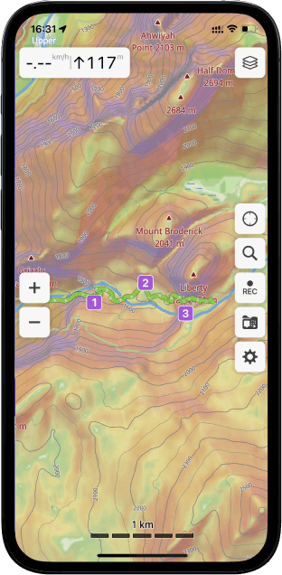
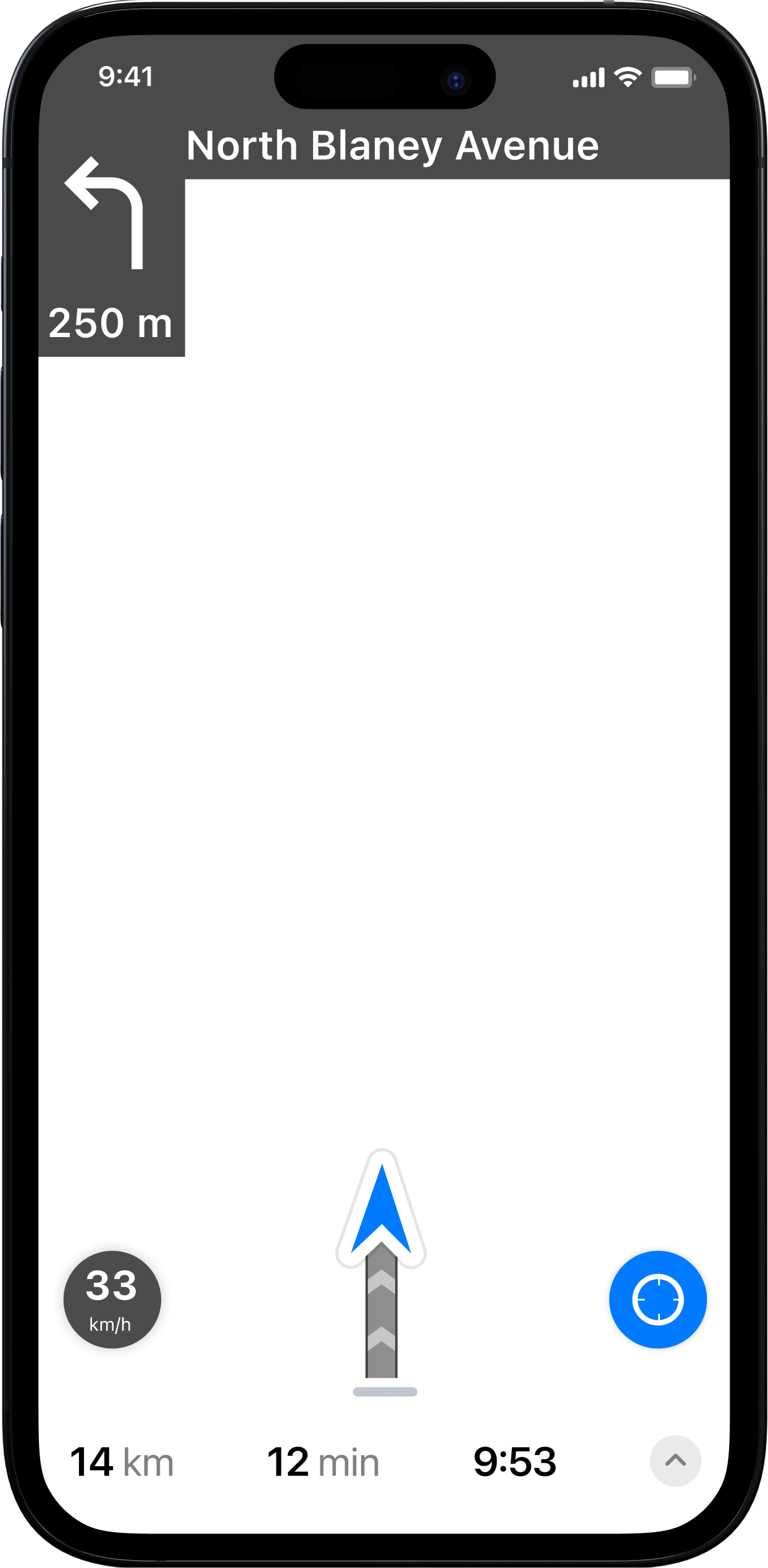
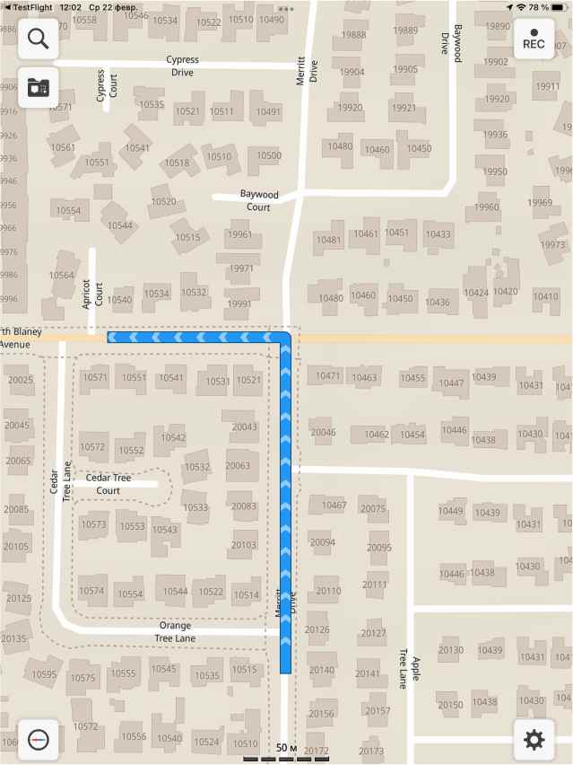
Offline navigation
Turn-by-turn driving directions, voice instructions in 9 languages, and support for cycling, walking, and shortest distance routes.


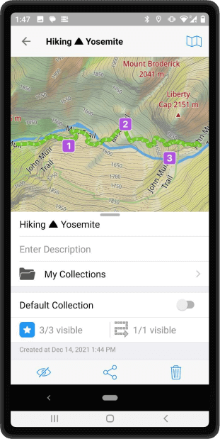
Record your adventures
Monitor your real-time speed, distance, and altitude while recording your trips.


Offline search
Search for locations by address, object name, category, or even by GPS coordinates.


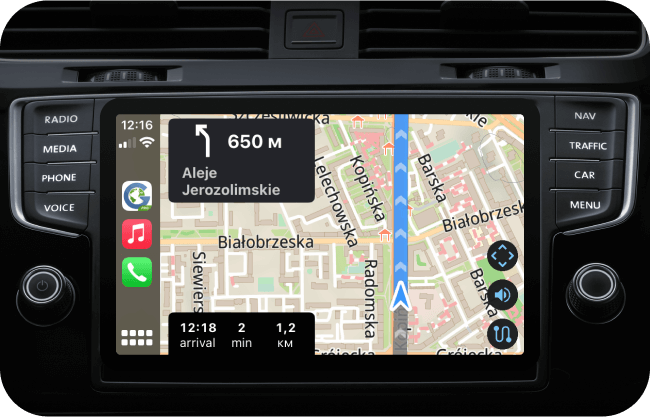
CarPlay support
Start navigating in Guru Maps on your mobile device and connect it to your car to get turn-by-turn guidance right on the car's dashboard.

5M+Downloads
MonthlyMap updates
17Languages supported